KALKTRITTLI – MUTTSEEHÜTTE
25th September, 2016
Destination: Muttseehütte 2501m. – Starting point: Kalktrittli 1871m. – Elevation: 630m. – Duration: est. 6.5 hours
Hiking has become a Sunday ritual since I moved to Switzerland.
Starting from early Spring until late Autumn whenever there is good-weather-Sunday, we will be out hiking.
The hikes up the mountains are never easy but it is like drugs.
At the end of every hike, you want more.
There is just something about being in the Alps that brings serenity to your soul.
♥ ♥ ♥
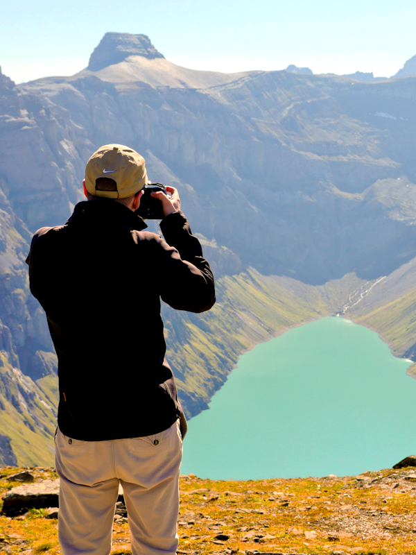
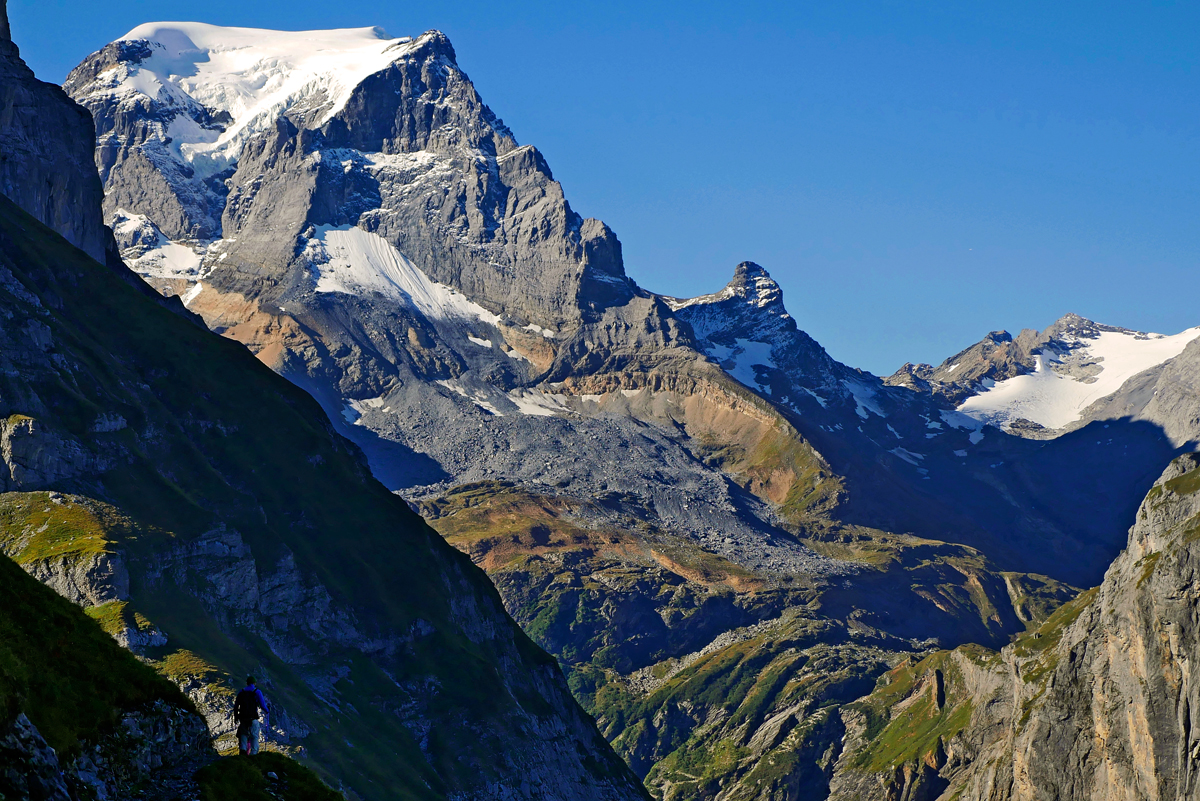
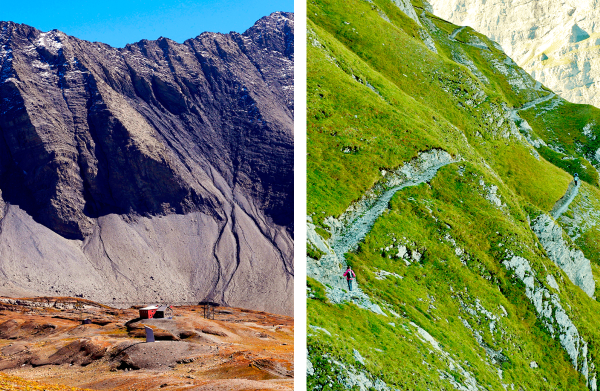
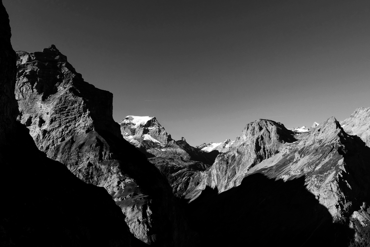
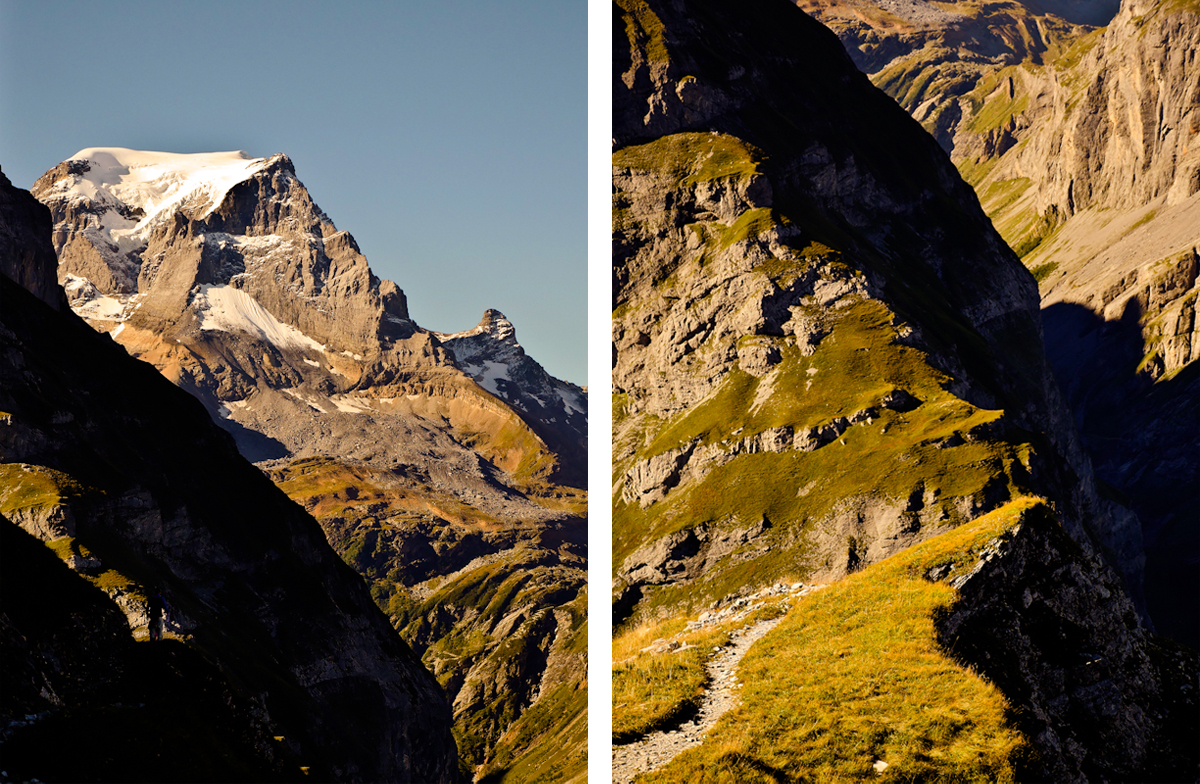
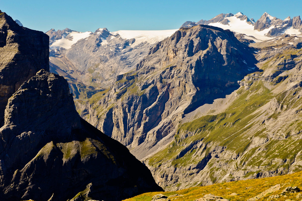
We went to Muttseehütte which sits at 2501m above sea level on Sunday. This is by far the highest hike for me. We started our journey from home at 0700 and had a stopover for breakfast by the highway in Glarnerland. We drove to Tierfehd to take a 10 minutes cable car up to Kalktrittli 1871m where we would start our hike. We started our journey at Kalktrittli at 1000 and made a lunch stop at 1130 right before steep trail to Muttseehütte. At 1230, we continued with our hike and finally reached Muttseehütte at 1330. The hiking route indicator shows that the hike only requires 2.5 hours. That is not true if you are armed with cameras and make a lot of in-between snack breaks. We left Muttseehütte for Kalktrittli 1400 and basically ran down the trail because the last cable car was at 1640. We managed to reach Kalktrittli at 1600.
“Not all those who wander are lost.” J. R. R. Tolkien
Love, Frau Hallo
Let us know your thoughts!